Aerial Photogrammetry
Drone-captured imagery processed into orthomosaics, digital elevation models, and 3D deliverables for mapping and GIS use.
Drone Services
Speece Geomatics operates FAA Part 107 drone capability built around aerial photogrammetry imagery, processed into the orthomosaics, digital elevation models, and 3D deliverables project teams use for mapping, GIS, and site documentation.
LiDAR data is available through industry partnerships when a project calls for it, alongside construction progress exhibits, photos, and video captured throughout the life of a job.
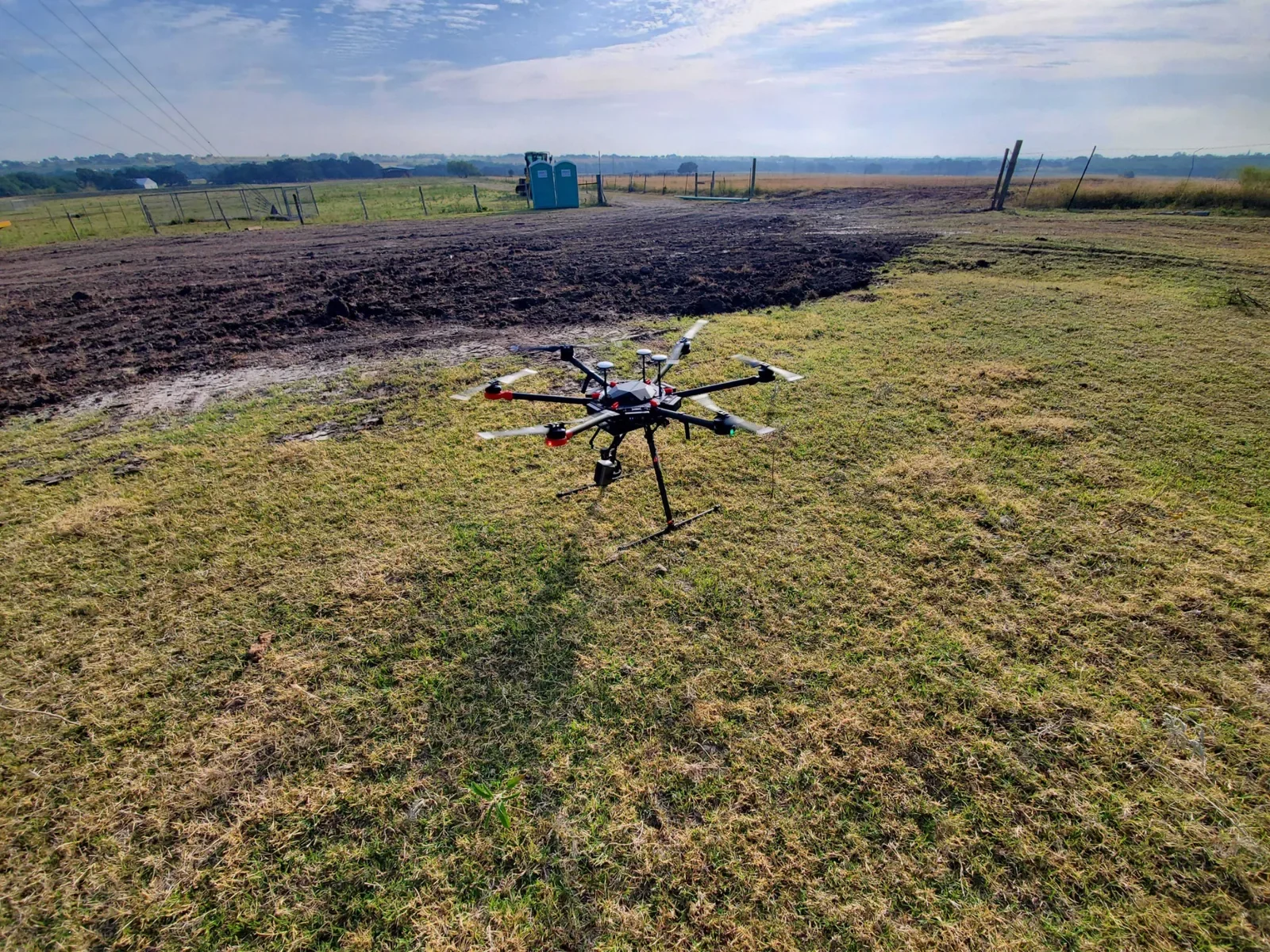
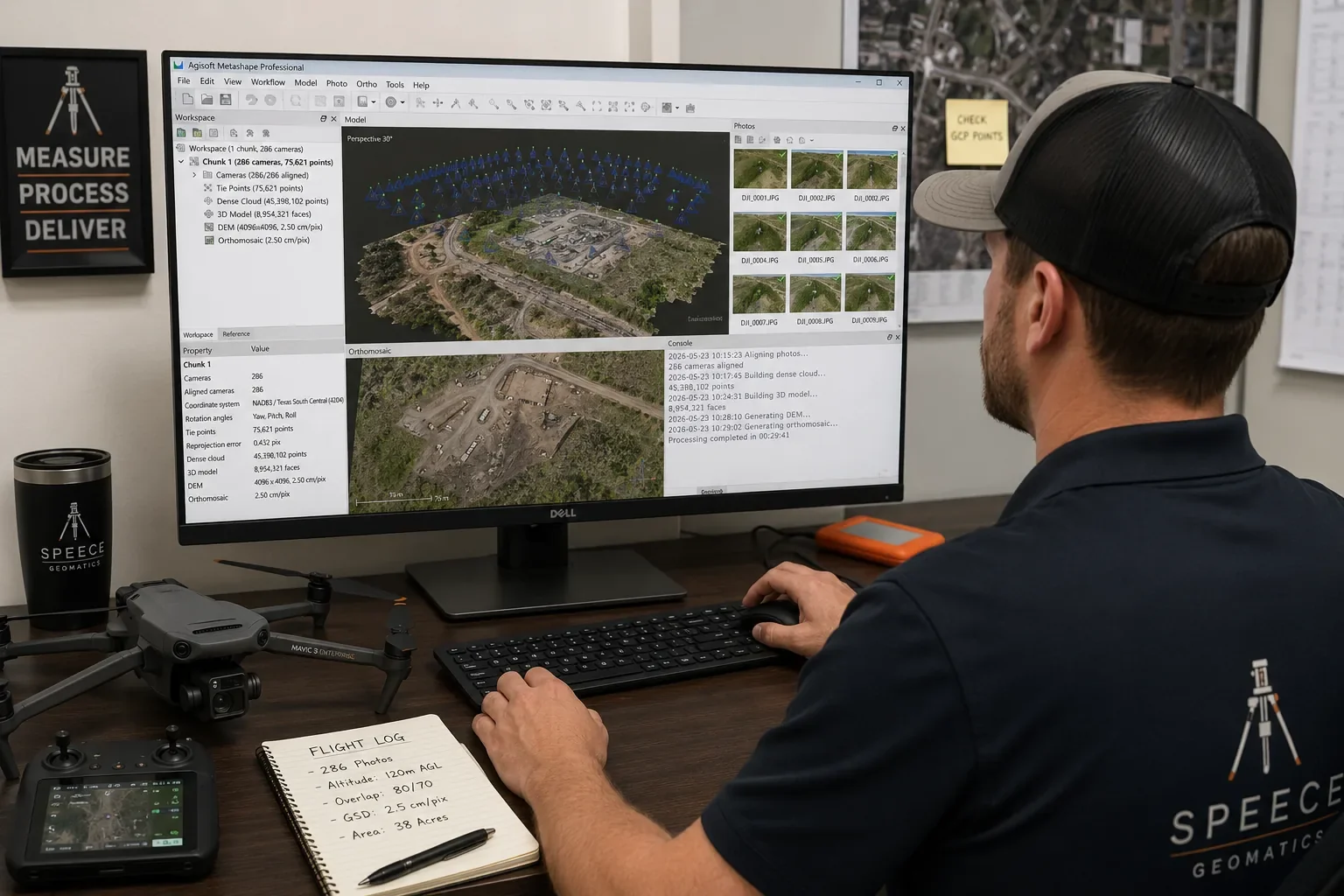
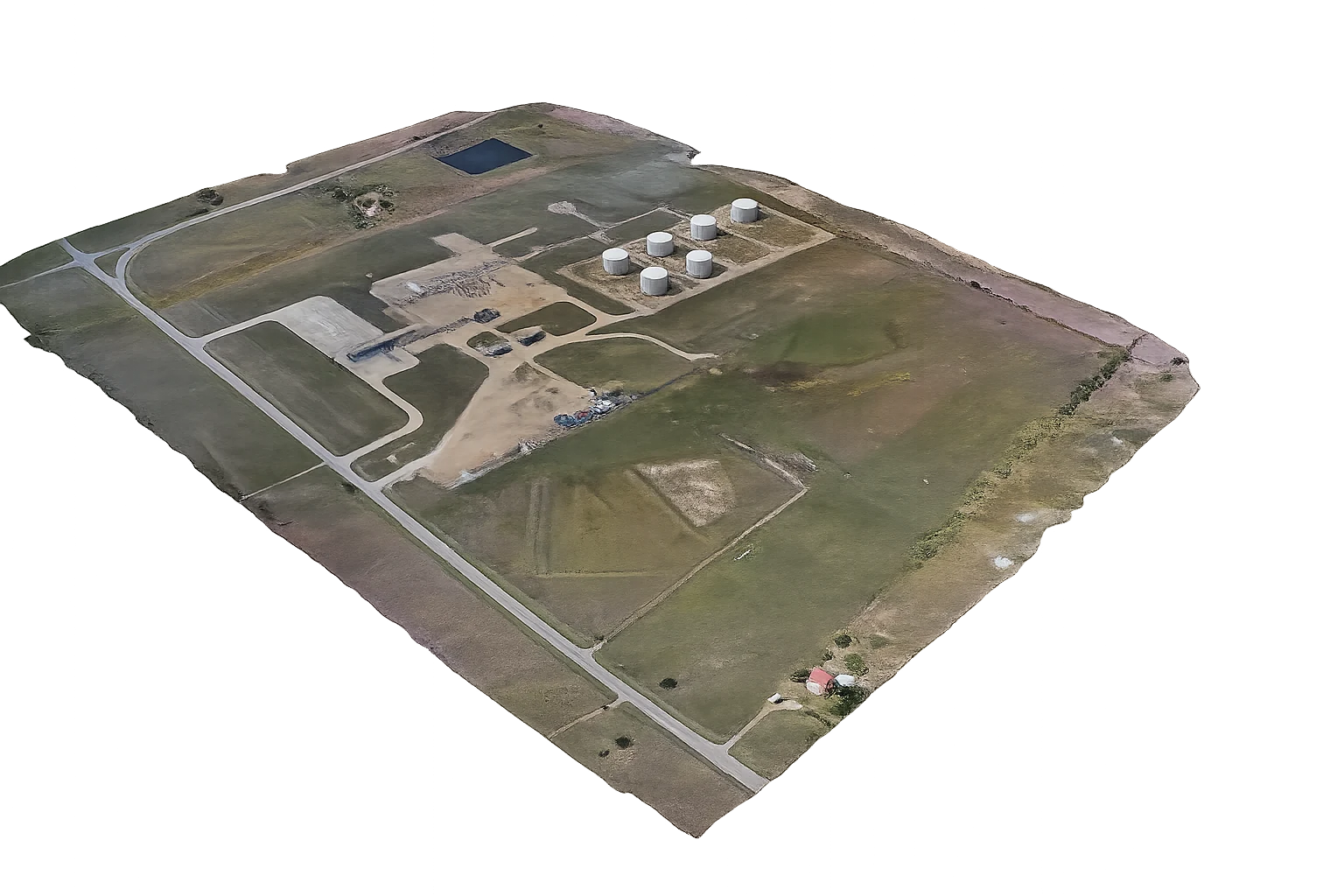
Capture, Process, Deliver
Photogrammetry is the core of Speece Geomatics drone capability. Flights are planned around ground control points and project accuracy needs, then processed into aligned imagery, dense point clouds, and 3D models that support mapping, topographic, and volumetric deliverables.
When a project scope calls for LiDAR, Speece Geomatics coordinates that data collection through established industry partnerships, keeping one point of contact for the survey, GIS, and reporting side of the project regardless of which sensor collected the data.
Drone-captured imagery processed into orthomosaics, digital elevation models, and 3D deliverables for mapping and GIS use.
LiDAR collection coordinated through industry partners when project accuracy or vegetation conditions call for it.
Recurring aerial photos, video, and exhibits that track site progress from mobilization through closeout.
Drone flights operated under FAA Part 107 Remote Pilot certification for active job sites and energy corridors.
Core Drone Services
Drone-based image capture planned and flown for mapping, topographic, and site-wide project needs.
Processed aerial imagery delivered as orthomosaics and digital elevation models for mapping and design use.
Dense point cloud and textured 3D model deliverables generated from processed photogrammetry data.
LiDAR collection arranged through industry partnerships and coordinated alongside survey and GIS deliverables.
Recurring flights that produce dated photos, video, and exhibits tracking a site through active construction.
Aerial photos and video for project marketing, stakeholder updates, and site condition records.
Drone-derived mapping products organized for direct use in GIS workflows and project data systems.
Who We Support
Progress documentation and aerial context that keeps stakeholders updated through active construction.
Photogrammetry and LiDAR-coordinated deliverables that support design, topographic, and volumetric needs.
Aerial mapping and site documentation for corridors, facilities, and active energy project sites.
Need Drone Support?
Speece Geomatics can pair drone capability with survey, GIS, and mapping deliverables, or coordinate LiDAR through industry partnerships when a project calls for it.